|
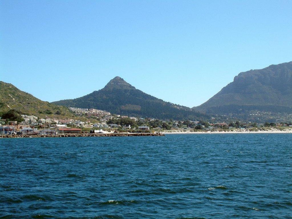 |
| Hout Baai | |
| Latitude: S 34°3'38,37" | Longitude: E 18°20'59,38" | Altitude: 0 metres | Location: An-de-Waterkant | City: Tokai | Country: Zuid-Afrika | Copyright: Ron Harkink | See map | |
| Total images: 12 | Help | |
|
|
|
| Hout Baai | |
| Latitude: S 34°3'38,37" | Longitude: E 18°20'59,38" | Altitude: 0 metres | Location: An-de-Waterkant | City: Tokai | Country: Zuid-Afrika | Copyright: Ron Harkink | See map | |
| Total images: 12 | Help | |